Secret Ironbridge: Maw or less

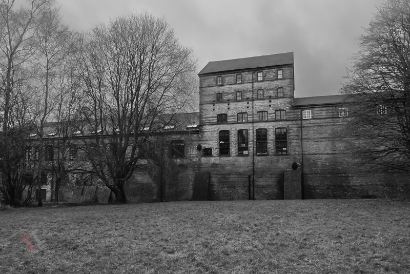
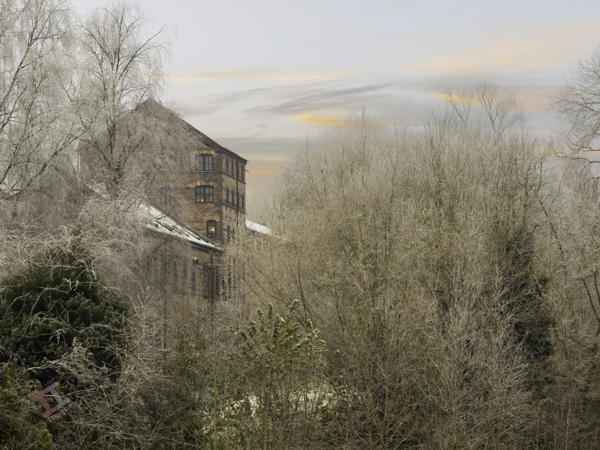
In Victorian times, the Ironbridge Gorge was home to numerous brick and tile works, due to the abundance of coal and, of course, clay. Most of these were small concerns, but occasionally a business would expand exponentially and become a major part of the community. An example of this is Maws and Co. in Jackfield.

Maw or less

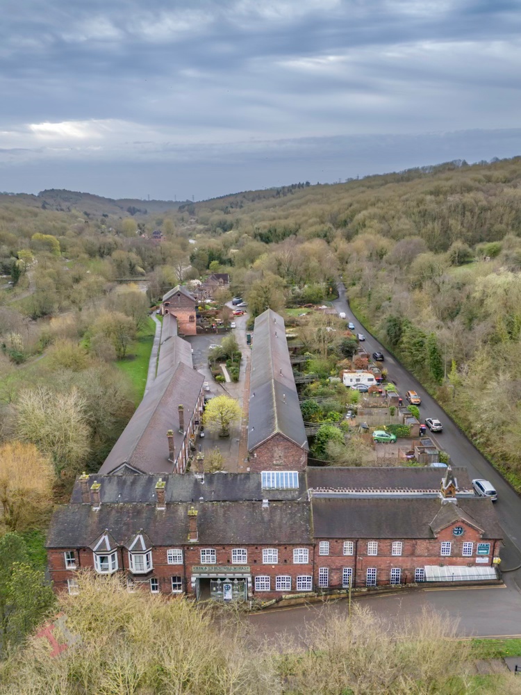
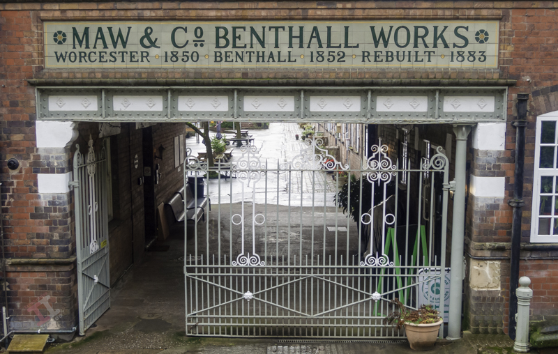
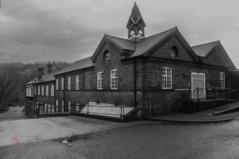
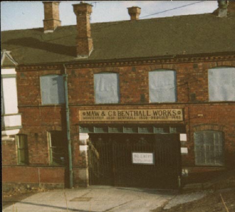
The company was founded in Worcester in 1850 by John Hornby Maw and his two sons, George and Arthur, but the shortage of good quality clay in that area meant that they shifted the entire operation (including the employees) to Benthall, near Broseley, in 1852. To take advantage of the transportation opportunities of the new Great Western Railway line, the site relocated again in 1883 to the site of an existing brickworks at Jackfield (this explains the somewhat confusing name “Benthall Works” above the entrance).

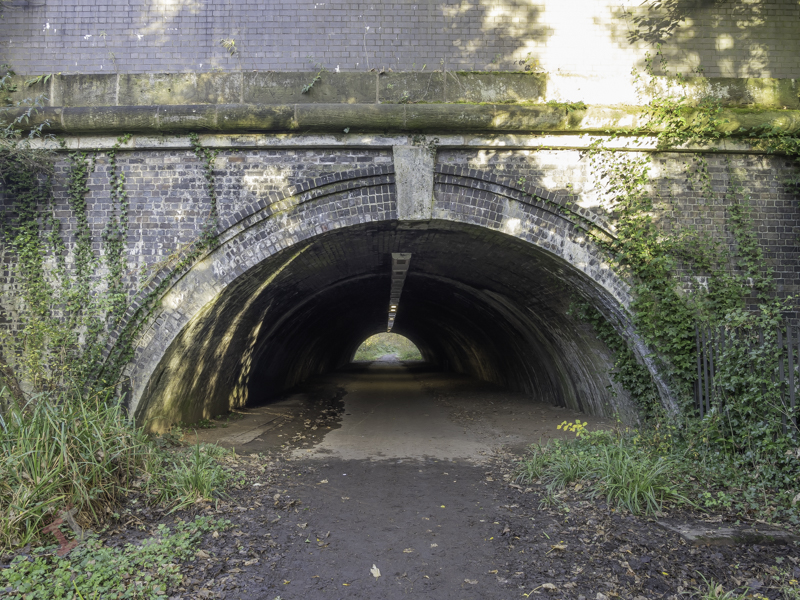
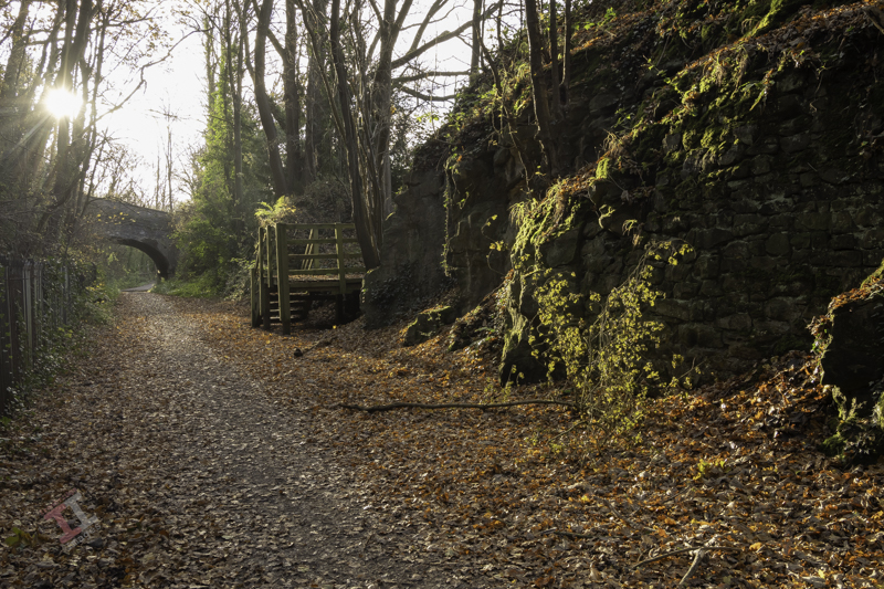
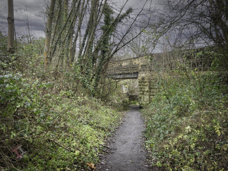
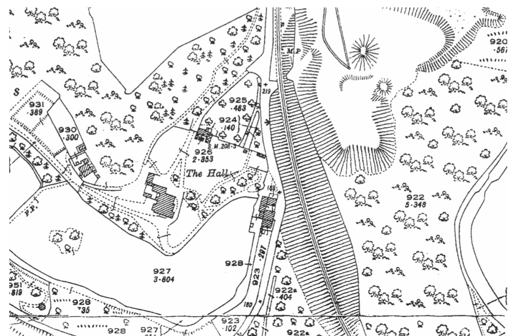
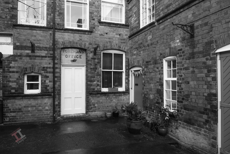
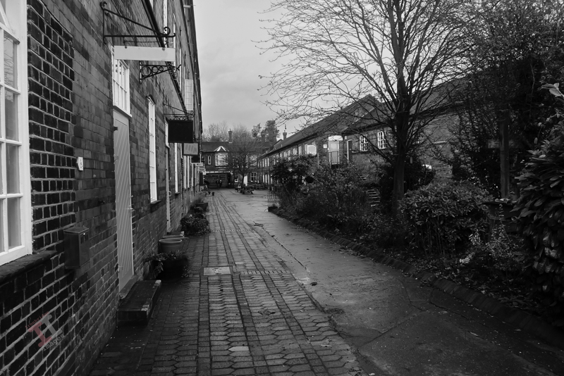
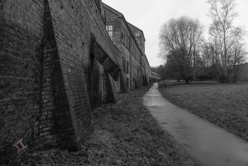
Today, you will find the works if you follow the signs to the Maws Craft Centre – its courtyard now taken up by artisan craft shops. As you walk down the courtyard you may be impressed by the size of the buildings – but in reality this is just one third of the size of the original works – the majority demolished in the 1970s. The map below shows the remaining buildings in red – with the rest of the (now demolished) works in blue. You will also notice that it had its own railway platform and sidings from the GWR line (see Secret Ironbridge: Great Western Railway) – the current road didn’t exist at that time. In its heyday, it was the largest encaustic tileworks in the world and employed 400 people.


Sadly, after the First World War, the ceramic tile industry went into a slow decline and after a merger, and then a take-over, the works finally closed in January 1970.

After years of dereliction the courtyard was converted into small workshop units and the upper storeys into apartments. The buildings live again!

Frosty morning at Maws
Coal chute on Ferry Road

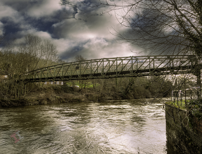
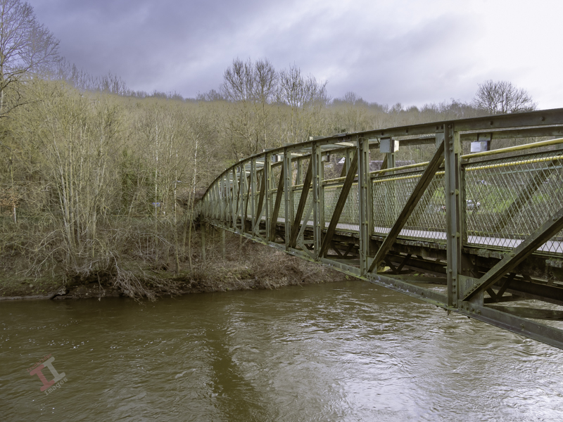
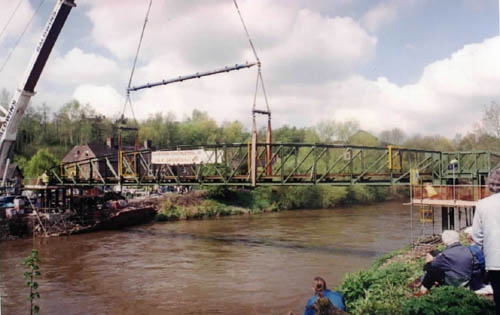
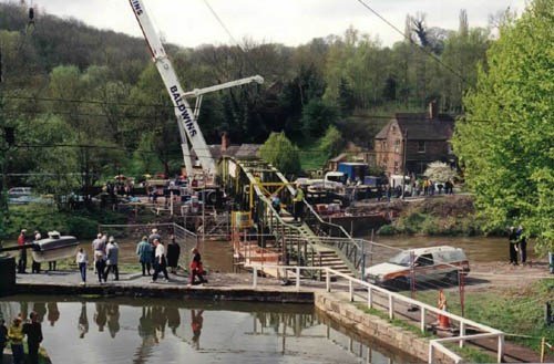
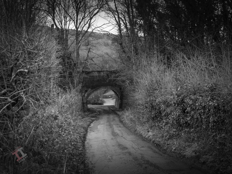
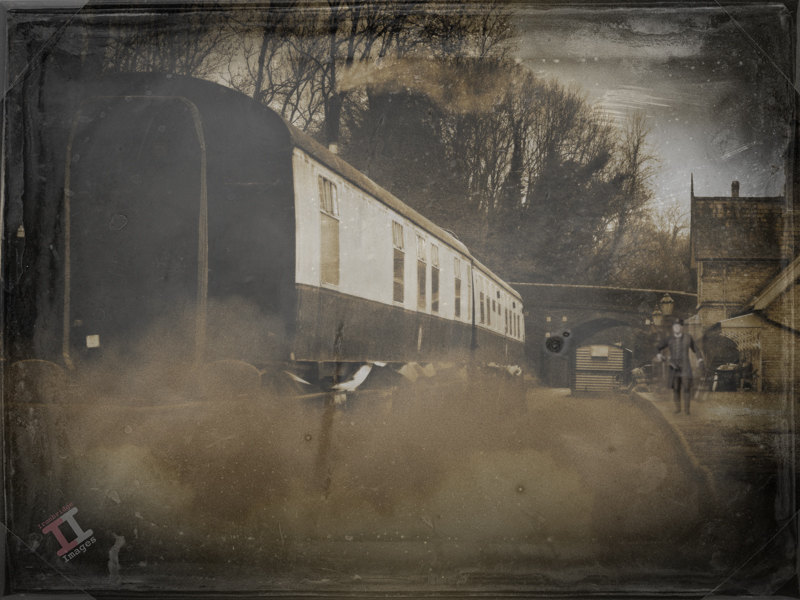
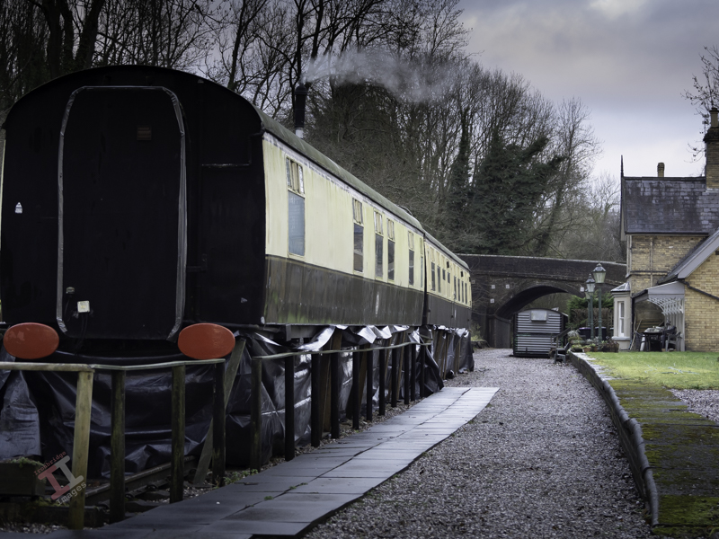
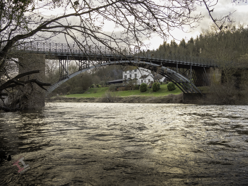
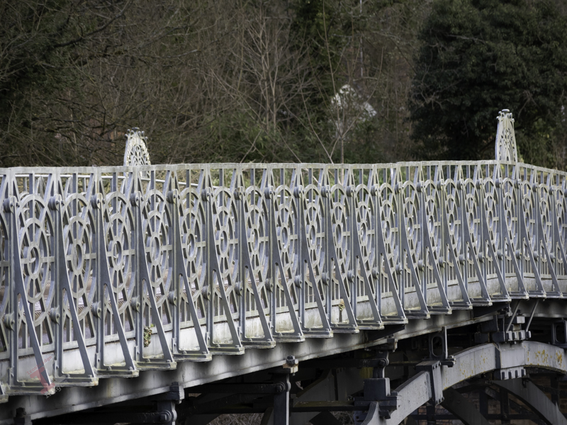
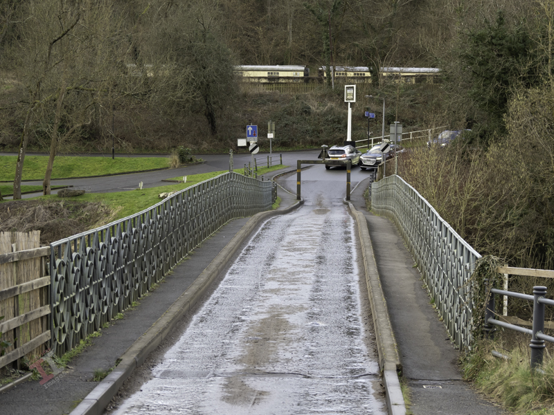
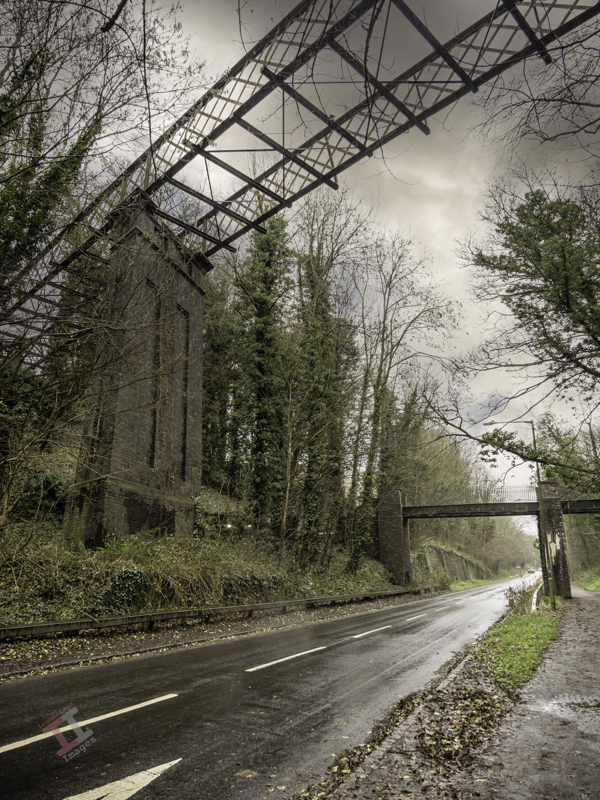
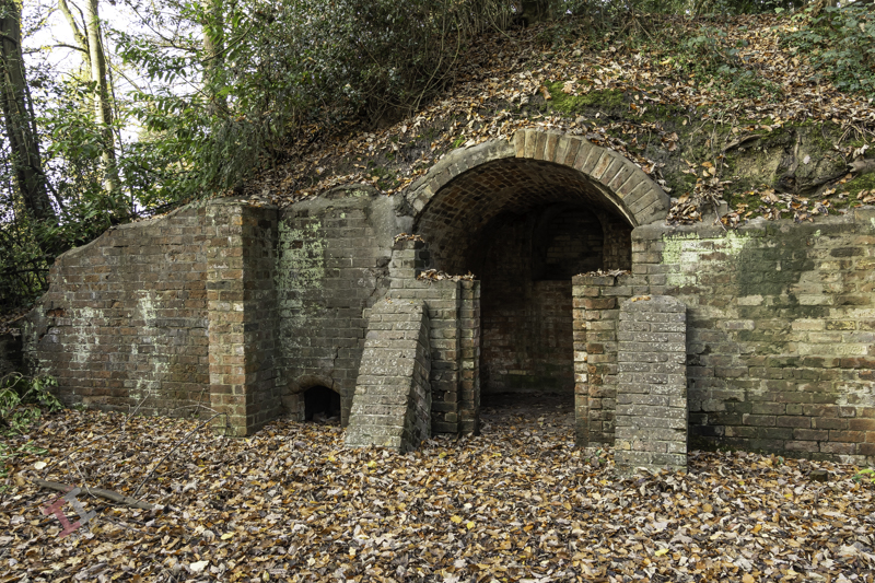
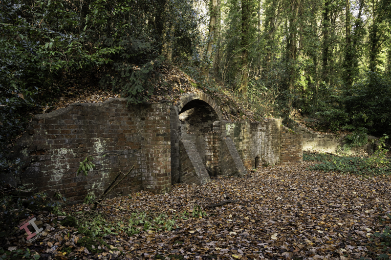
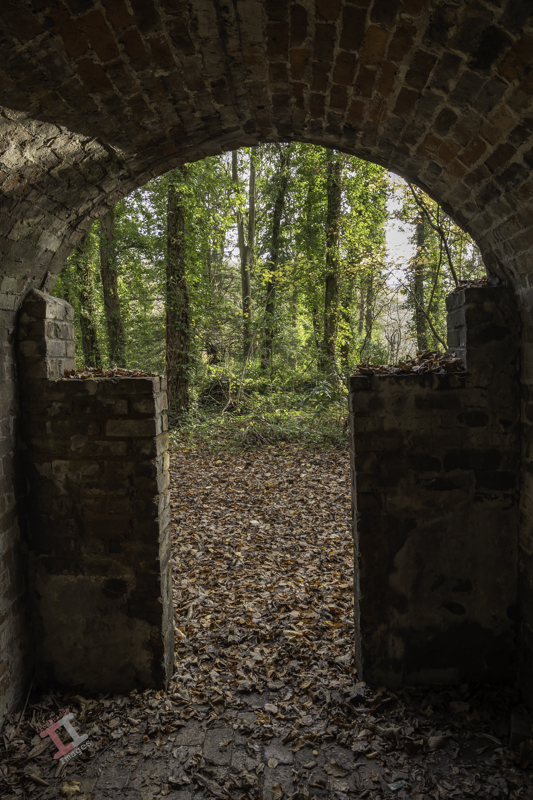
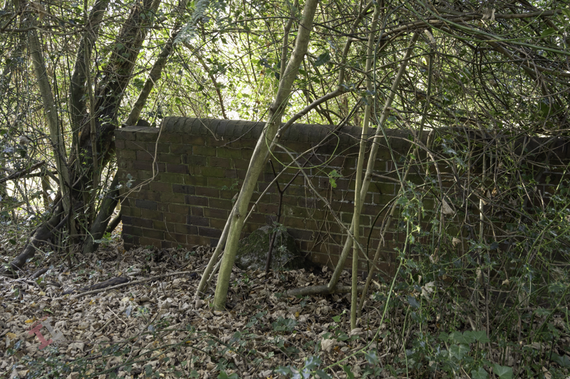
The Great Western Railway played a big part in the evolution of Jackfield, from a fairly squalid river port to a hive of industry. In the next Secret Ironbridge blog post we will visit a lost railway bridge, and its link to another tile works – one that may have helped to destroy part of the village!

Secret Ironbridge: Remembering the fallen

The river Severn obviously causes a bit of a disruption to free travel, and so crossing it is of interest to many. These crossing points generally choose themselves; points in the river with a flat riverbed, leading to a calmer current of water where ferries can be positioned, and/or those that are narrower, which suit a bridge.

One such area is at a point between Jackfield and Coalport, immediately adjacent to the Hay incline plane. Initially, a ferry provided transport for people crossing from one side to the other, which was useful with industries expanding in the area, particularly John Rose & Company, who had closed their china works in Caughley and Broseley and relocated to Coalport – but leaving the workers now having to cross the river to attend their place of work.

These ferries were usually run by owner/operators with little regulation and so accidents were quite common. On a foggy evening of 23rd October 1799, the ferry set off from Coalport towards Jackfield in the dark. Halfway across the river it capsized and, of the 43 people on board, 28 died, including women and children who had just finished their shift in the china works. There are several theories about what happened on that day to cause the ferry to sink, but the true reason remains unknown.

The river can be an unforgiving place – particularly at night.

Despite this tragedy, the ferry continued to operate in the same area and, 100 years later, claimed another life when the ferryman, John Harrison, fell overboard in a swollen January river, and was swept to his doom. He was 72 years old and still happy to work, but had slipped whilst lighting a lantern after a long day on the ferry.

Sir, The letter that appeared in your last weeks issue re the dangerous ferry at Coalport only serves to show the great necessity there is for a footbridge across the Severn at some convenient point. Unfortunately, it is not the landings that are dangerous, but the ferry-boats themselves, especially in flood time and it is fortunate that there are not more accidents than there are.

R.F. Ayre, Mayor of Wenlock. 9th February 1907

It is perhaps due to this latter tragedy that thoughts of a footbridge were mooted and, in 1922, one was built from public subscription to commemorate the 26 servicemen from the villages of Jackfield and Coalport who lost their lives in the Great War (the First World War).

The bridge was known locally as the ‘shaky bridge’, for the obvious reason that you could feel it physically ‘bouncing’ if you walked across it with heavy feet. The bridge had a ramp at the Coalport side and a steep set of steps on the Jackfield side.

Eventually it got to a point that it was judged dangerous and so, in year 2000, it was replaced.

The replacement bridge is a tasteful improvement of the original, with gentler steps on either side, although it still bounces a bit when those of a larger disposition walk across it.

The ferry and bridge may have benefited workers at the Coalport china works in the early days, but in 1883, a large employer opened up on the Jackfield side, and so workers were now crossing in the opposite direction as well. More of that in the next Secret Ironbridge blog post.

Secret Ironbridge: A nasty accident

In 1898 the local newspaper carried a report of a nasty accident that occurred to a young girl on a bicycle in Jackfield:

On Saturday Miss Milly Pritchard of Ellsmere met with a serious accident. It appears that Miss Pritchard (who was on a visit at Mrs Doughty’s, Tuckies House) went for a bicycle ride with Miss Doughty, proceeding from the Tuckies House down the road leading from the Dingle to the Severn. From some cause or another Miss Pritchard lost control of the machine, which travelled at great speed, passing under the railway arch, and then swerved around and with great force came in contact with Mr Charles Perks’s garden wall. The unfortunate rider sustained a compound fracture of the jaw, also a compound fracture of the left knee, and the machine was smashed. Mr and Mrs Perks carried Miss Pritchard into their house and placed her upon the sofa, after which Miss Thompson (district nurse) and Mr George Bunnager (member of St. John Ambulance Association) rendered first aid. Dr. Collins of Broseley was sent for, and under his care Miss Pritchard is progressing as favourably as can be expected.

Wellington Journal, 30th April 1898

It doesn’t say how old the girl was, or what the after-effects of the accident were – although with compound fractures of both the jaw and the knee it can be assumed that it was a lengthy recovery. This was 50 years before the founding of the National Health Service in the UK which perhaps explains why the poor girl wasn’t taken to a hospital – because they were only available to the wealthy.

Here is the view that Milly must have seen as she careered down the lane, under the railway bridge carrying the Great Western Railway, and onwards into the wall beyond:

In reality the scene is littered with street furniture: height restriction signs, a salt bin, various random signposts and some plastic bollards leaning at odd angles. I removed them all in post-processing to recreate the picture as it would have looked at the time.

I had an idea to add “a Victorian girl on a bicycle” to one of the images using the ‘Generative Fill’ function of Photoshop, which uses Artificial Intelligence (AI) in order to create elements within an existing image. Here are the suggestions it gave me:

Those of you who think that photography is dead because of artificial intelligence, clearly don’t need to worry just yet!


Milly may have survived the accident, but there was worst to come. Just 16 years later, the Great War (World War One) broke out which, as we know, was a brutal period in our history. Many died, including those from this small community, and a unique memorial was created in their honour. More of this in the next Secret Ironbridge blog post.

Secret Ironbridge: Lost village

Some claim it to have been a village, others that it was just a suburb of the village of Jackfield, but either way The Werps now ceases to exist.

The Werps lay on the southern side of the River Severn, immediately opposite the Coalport china works.

A map from 1883 show at least 22 separate dwellings, some quite large with substantial gardens. A later 1925 map shows that it was largely unchanged, albeit by that time the Werps Inn had changed its name to the General Gordon.

It is variously reported that two tragedies occurred here, 34 years apart:

On Friday night a sad accident, terminating fatally, happened to one of the twin sons of Mr George Stephan, at the Werps. The children were put to bed by the servant, a small fire having been previously lighted in the room. Shortly afterwards a scream was heard and the father rushed to the apartment. One of the children, Eustace, was in flames. These were quickly extinguished by the energetic and agonised parent. The injuries sustained were not sufficient of themselves to account for death, but the shock given to the nervous system was too severe to be resisted, and death followed in consequence.

THE IRONBRIDGE WEEKLY JOURNAL 31st December 1870

On Thursday an inquest was held by Mr Coroner Potts on the body of a little girl named Stephan, the daughter of Mr G. Stephan, landlord of the General Gordon Inn, who had died form the effects of burns. On Monday morning, during the momentary absence of the mother, the child’s clothing caught fire, and although medical aid was obtained, she died from the effects of the burns and shock. The verdict of the Jury was one of “Accidental death”.

The Wellington Journal 1904

Note: Further checking shows that the little girls name was Beatrice Stephan and her father was the twin of Eustace, who died in similar circumstances 30 years prior.

After reading the Journals from the early 20th century, it does seem that child fatality rates for burns was quite high, probably due to the use of open fires and candles. However, for two related children to die in the same manner 30 years apart is very, very sad.

The buildings at The Werps still show on a map from 1957, although it is not clear if they were still inhabited at that time.

I spent some time looking through the undergrowth and trees to see if I could identify any remains of the Werps, but all I could find was one small corner of brickwork. It seems that some concerted effort was made to raze the community to the ground.

The riverside path that runs in front of the Werps has a post blocking vehicles that, for some unknown reason, is in the form of a missile. It is an ironic marker post for a village that has been wiped from the face of the Earth.

The missile is also ironic in that it is very close to a unique war memorial, which we will visit in a later Secret Ironbridge blog post, after we visit the scene of a nasty accident.

Secret Ironbridge: Great Western Railway

Considering that Coalport is only a small village, you may find it surprising that it had two railway stations.

I have already mentioned Coalport (East) in my post Secret Ironbridge: London & North Western Railway โ€“ but directly on the opposite side of the river (in the Coalport hamlet of Preens Eddy) was another station โ€“ Coalport (West) – which served the Great Western Railway (GWR) that ran from Kidderminster & Bridgnorth, and onwards to Ironbridge & Shrewsbury.

Confused? – you will be“. If you look at the map (above) from 1925 you will see that Coalport (East) is only slightly in a more easterly direction than its counterpart. If I had been in charge of station names I would have been tempted to call them Coalport (North) and Coalport (South) – not least to eliminate the confusion that the line from Coalport (East) only takes you West! Maybe there is a station-naming protocol that I am unaware of. If so, please let me know.

The old GWR railway track has long been removed, although the original course of the line can be clearly seen, and most of it is now a footpath called the Severn Valley Way. The station, however, still stands and has been tastefully converted into a house. In addition, two Mark1 railway carriages stand on tracks near the platform and are let out as self-catering holiday accommodation.

Just west of the station is Sweyney bridge, which carries the road from the Coalport to Broseley, and is still an important route to the river crossing mentioned in Secret Ironbridge: Another bridge of iron.

Back in 2003, I conducted a small project called “Bridges of the Ironbridge Gorge”, when I photographed all 25 of them, ranging from the iconic Iron Bridge over the river Severn to a much smaller footbridge that crosses the Shropshire canal. The (then) owners of Coalport (West) Station kindly allowed me onto their land to capture the shot below to help complete the project:

And now – an admission. The ‘old’ photograph above is not “Coalport (West) station in its heyday”, it is actually a photograph I took a couple of weeks ago (from public land) and manipulated in Photoshop for a bit of fun. The lack of any railway tracks and the AI station master may be a bit of a clue.

We’ll be seeing more of the GWR line as we follow it up the Ironbridge Gorge to uncover some more Secret Ironbridge, including a lost village and the site of a nasty accident.

Secret Ironbridge: Another bridge of iron

There has been a bridge over the river Severn at the eastern end of Coalport for many, many years. The original bridge was made of wood and was erected in 1780 and hence explains the name of the Woodbridge Inn adjacent to it (although it was originally called the “Bridge Inn’ until the late 1920’s).

At that time the bridge was more commonly known as Preens Eddy bridge (Preens Eddy being the name of this hamlet of Coalport) and was erected by Robert Palmer, a Madeley timber merchant. This original bridge had two spans with a central stone pillar.

In 1795 the bridge was severely damaged by floods (which were so high that the river washed over into the canal at the transhipment interchange) and, during its restoration, the central stone pillar was removed and the existing wooden superstructure was then supported by three arches of cast iron which spanned the full width of the river. There is no record of where these arches were cast.

In 1817, one of the arches of the bridge cracked in two places and the following year it was replaced, two more arches were added, and the wooden deck was replaced by iron plates. This was done by the firm of John Onions, whose initials, together with the date 1818, are recorded on the parapet โ€“ which belies the fact that the bridge existed some 38 years earlier.

The showpiece bridge at Ironbridge has meant that this cast iron bridge at Coalport is often overlooked. But it shouldn’t; unlike its nemesis, Coalport Bridge still carries vehicular traffic and acts as an important functional river crossing to this day. It is much more conservative with its use of metal, with every piece designed for a function, and so is actually more of a technological marvel than its upstream cousin.

Like many river crossings of time, there was a toll charged to use the bridge. The payment window of the toll house is still clearly visible today.

To try and preserve the bridge, it is single-file traffic only, with height restrictors to prevent vans and lorries from overloading it. This often causes some congestion, especially at peak times in the morning and evening.

In the background you can see railway carriages at Coalport (West) station, the subject of the next Secret Ironbridge blog post.

Secret Ironbridge: The fuel pump

As you pass through Coalport village, you may find it strange to see an old fuel dispensing pump standing in front of a terraced house. However, if you look at the large ‘garage-like’ building close by, you may start to appreciate that this was once the base for a small haulage company, W. Woodhall & Son (Haulage) Ltd.

Directly opposite are the former offices of Nuway Matting, and Woodhalls used to provide transport for them, as well as a sheet metal & gasket company called Chillcotts, both of which operated on the site of the old Coalport China works. I can still recall their small fleet of red, flat-bed trucks struggling to climb up the bank out of the village, diesel fumes spewing forth. Diesel which had been dispensed from their own private pump outside of their house.

The haulage company has long since gone. But the fuel pump and garage remain a testament to the industry that once graced this quiet village.

Of course, Nuway Matting, Chillcotts and W.Woodhall & Sons (Haulage) Ltd were not the first industry in the village. It all started with a transhipment interchange. More of that in the next ‘Secret Ironbridge’ blog post.

Secret Ironbridge: London & North Western Railway

If you travel into the Ironbridge Gorge from the town of Madeley, you will pass down a road called Legges Way, named after George Legge, who owned the Blists Hill brickworks from 1912 to 1938.

Although it may not be immediately apparent, the first part of this road is actually laid over the bed of the London & North Western Railway (LNWR), one of three railway lines that once ran into the Ironbridge Gorge. This branch left the main Wellington to Stafford line and ran down to Coalport (East) station and its terminus.

After travelling down Legges Way for less than a half-mile, you will see two bridges crossing the road. The much taller one is called the Lee Dingle Bridge, built in the 1860s with impressive, tall, blue abutments carrying a lattice-girder frame. It was designed to carry a tramway, carrying coal from the nearby Meadow Pit colliery to the Blists Hill ironworks. Initially, it was painted cream, then blue, and it was much later in the 1960s when it was overpainted with its current grey colour. The smaller one was built as a footbridge when the railway was built, probably to allow workers to reach the Blists Hill ironworks and brickworks from Madeley town.

Just after these two bridges, the line of the railway drifts off the roadway to the left. Fortunately, you can still follow this because it is a footpath known as the Silkin Way, which leads you to a short tunnel which supports the main entrance to the old Blists Hill Ironworks.

At first glance, you may think this is just not high enough for a steam train to pass under – and you would be correct. In the 1960s, a huge double-pipeline was installed to take the storm water from the southern end of the newly developing New Town of Telford. Rather than dig a trench, they just laid the pipeline on top of the old railway track bed and covered it over. Hence, the pathway is much higher than the original railway track.

A little way after the tunnel, some metal fencing denotes the point at which the pipeline leaves the old railway line and continues downwards through the trees to the outflow into the River Severn. The pathway then reverts to the original level of the railway line.

Further on, you pass under a much more interesting bridge. Built in around 1860, it supports the Hay Incline Plane โ€“ built some 70 years previously to transfer flat-bottomed iron tub boats down the steep valley side from the upper section of the Shropshire Canal in Madeley to the riverside section of the same canal in Coalport.

The bridge is unusual because bridges are usually flat on top to take paths, roads, and railways, but this one was designed to support an incline plane, so the top is distinctly angled. It is also a โ€˜skewโ€™ bridge โ€“ in that the arch runs at an oblique angle to the spandrels that support it. At first, this may seem unimportant โ€“ until you think about the complexity of the brickwork and that it was built over 160 years ago before any computer-aided design. These types of skew bridges became increasingly necessary in the nineteenth century as the railway networks expanded and had to cross existing roads and canals without disrupting them too much.

The railway line then starts to level out and run parallel to the river and eventually passes under yet another bridge, which, unusually for the Ironbridge Gorge, has stone parapets rather than brick ones. This road crossing is only single-file and crosses at a sharp angle โ€“ meaning it is โ€˜blindโ€™ to drivers in either direction (reversing often ensues). Beneath, a retaining brick wall has failed due to constant subsidence, letting the soil spill down – and now a large sewerage pipe takes up some of the space. Itโ€™s hardly believable that once this bridge was wide enough to accommodate two railway tracks (although only one ever went beneath, the second terminating just before).

Not much further is another road bridge, which signifies the terminus of this LNWR line. It originally had cast iron riveted sides, but these were removed and replaced with brick in the late 1980s. The platform of Coalport Station (East) was situated underneath this bridge โ€“ although all signs of this have now long gone, and adjoining this was a railway yard, built in the 1860s, which was surprisingly lavish, with a large engine shed, a palatial double carriage shed, a goods shed, a water tower and, initially, an engine turntable. It survived for 100 years until the line was eventually closed in 1960.

It’s easy to get nostalgic and have a vision of a small steam train chugging through the trees overlooking the river in the sunshine – but the reality was that this was an industrial area, dominated by chimneys belching out black smoke from the furnaces that powered the Industrial Revolution, operated by workers who lived in quite squalid conditions. It certainly wasn’t somewhere to come on your holidays.

Railways declined throughout the UK in the 1960’s due to the rise of cheaper and more flexible road haulage. Even the small village of Coalport had its own haulage company. More of that in the next blog post of this series.

If you want to see more about Secret Ironbridge, subscribe to this blog (for free!) to keep up-to-date via your email inbox or the Reader app

Secret Ironbridge: Ice house

This is a new series of photographic blogs called Secret Ironbridge, featuring photographs and descriptions of areas of the Ironbridge Gorge in Shropshire that, although not exactly ‘secret’, are certainly overlooked by the tourism industry that now dominates the four towns and villages that lie in the valley:

  • Ironbridge
  • Coalbrookdale
  • Jackfield
  • Coalport

This blog series is a good excuse for me to get out, take photographs, and share some history of an area I have lived in all my life.

This first post features an ice house – the underground cellar from the long-demolished Madeley Wood Hall in the Lloyds Coppice, between Coalport and Ironbridge.

An ice house was used for storing ice throughout the year before the invention of the electric refrigerator (or indeed, electricity) and was typically located wholly or partly underground to utilise the natural insulation it provided. During the winter, ice and snow would be taken into the ice house, which would stay frozen for many months, allowing for the storage of perishable foods, cooling drinks and making cold desserts.

Of course, they tended to be associated with larger houses and halls, and this particular one was built for the Anstice family, owners of large areas of land and industry in the area. It was allegedly quite grand, brick-built, 3-storeys high, with a large entrance porch supported by four stone columns. Nearby was a couple of semi-detached houses (also now demolished) and a stable block serving the hall.

Here is a section of an old map from 1927 showing that the hall was quite substantial in size. The ice house is the upper-most outbuilding and was detached from the main hall (sensible, I guess, if it was full of ice). You can also see the semi-detached houses to the left and the landscaped area that used to be the tennis court.

To the upper right is another building that was, presumably, a gatehouse. On the right is the only remaining building – the stable block for the horses (now a beautiful private dwelling). The lack of trees and the grassed area to the front of the hall would have allowed magnificent views down the valley.

If you refer to the above map, you may see the heavily contoured area to the right of the hall. This was the London & North Western Railway (LNWR) line that ran from Coalport (East) station to Wellington. More of that in the next Secret Ironbridge series.