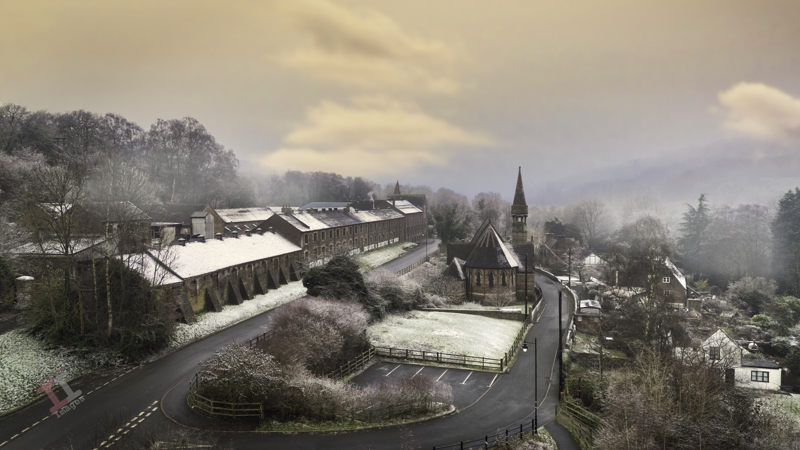
A frosty morning in Jackfield, following a particularly cold spell in January. The sun tried to make an appearance and raised the temperatures sufficiently for me to take my drone for a short flight and I captured his image of the spire of St Marys church, contrasting the stark, Victorian architecture of the Craven Dunnill tile factory.
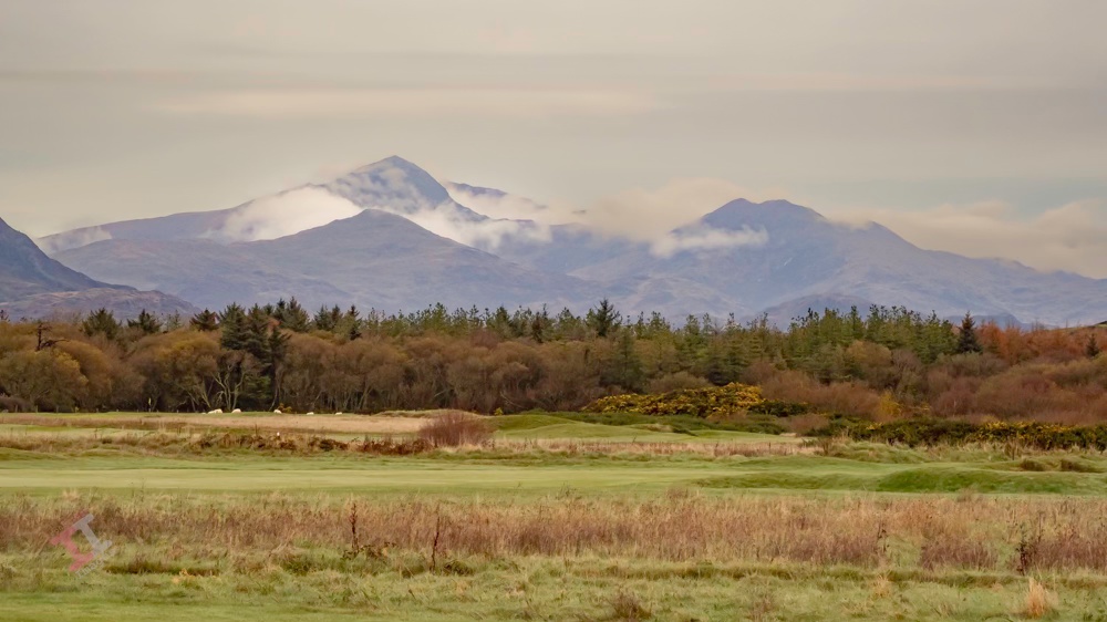
We recently took a trip 100 mile west, to the Welsh coast at Harlech. It was surprisingly mild for November and we spent a good 3 hours on the beach with the dogs (Harlech has a lovely long, flat, sandy beach). In fact, the weather was so good that I managed to fly my drone and flew it over, and beyond, the sand dunes to capture this shot of the Snowdonia mountain range, with the clouds nestling in the valleys.
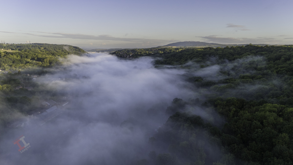
Visibility was limited when I opened the blinds in the kitchen window this morning – a thick blanket of mist had descended into the valley. I took the opportunity to fly the drone above the cloud to capture this image over the Severn Valley.
Ironbridge Gorge Cloud Inversion
Within 30 minutes the mist had cleared and we were ready for another day of summer sun rain.
This type of phenomena is called a ‘cloud inversion’ and is caused when temperatures near the ground are lower than those higher up in the air. It is more common during Autumn and Winter, typically just after sunrise.
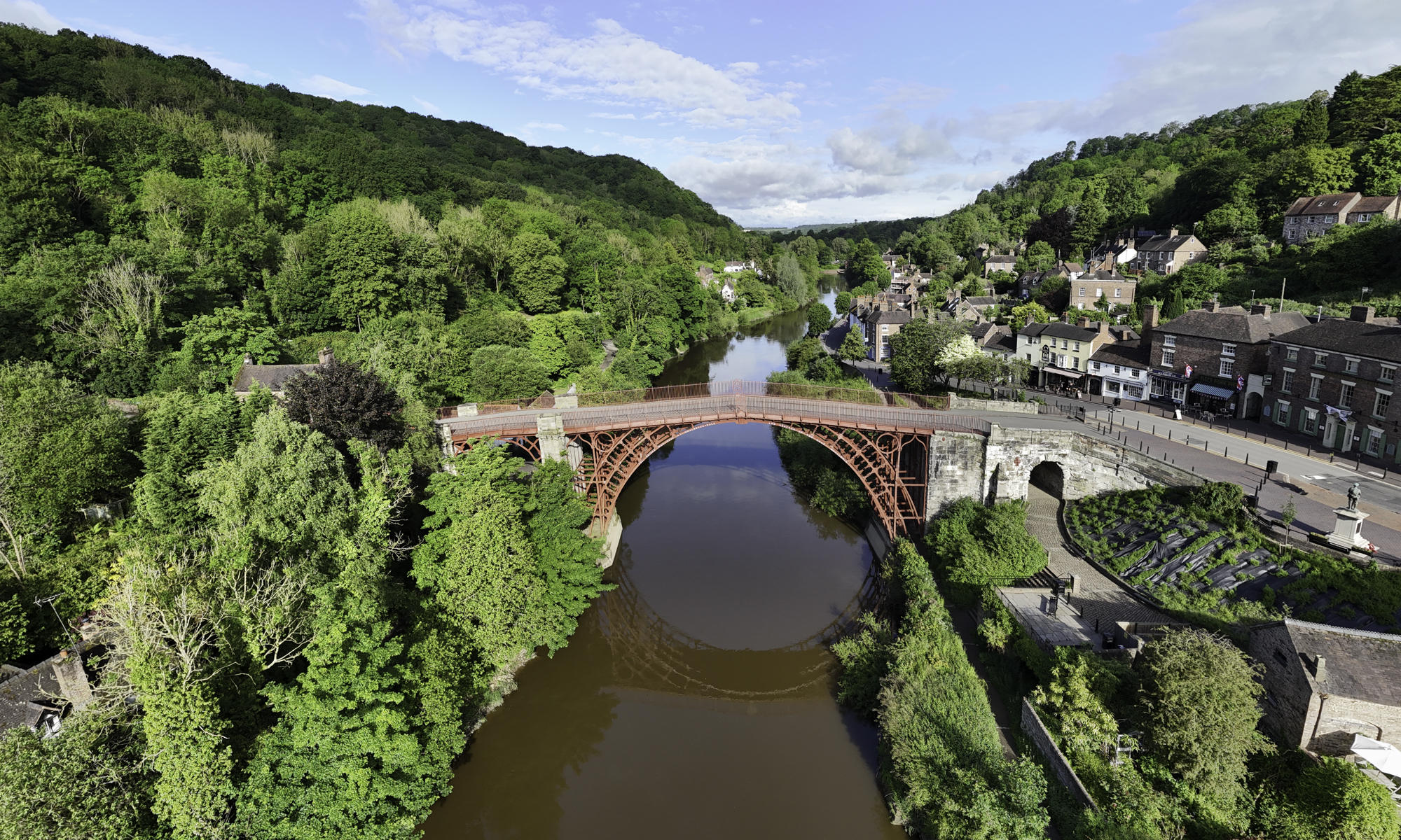
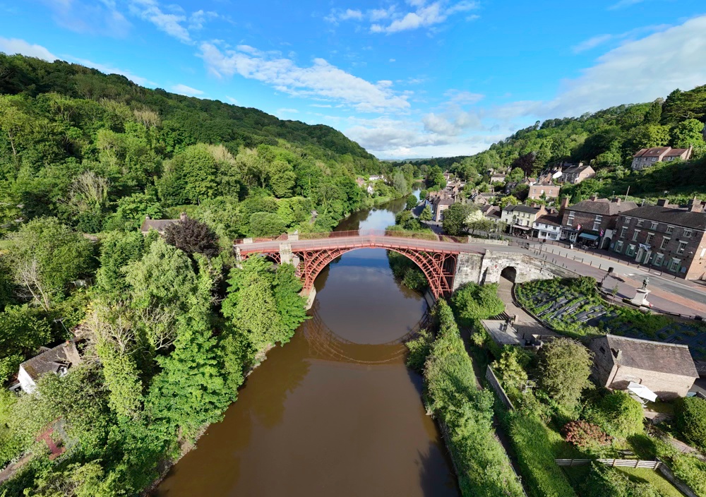
Yesterday I managed to complete another task off my to-do list; and took a photograph in order to create new headers for my website and Facebook page. The dimensions for both are quite specific (and different to each other) and it required a wide-angle shot so that it could be cropped quite heavily to suit the size and aspect.
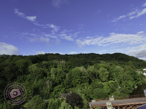
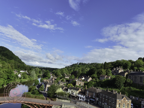
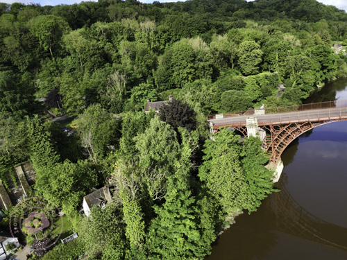
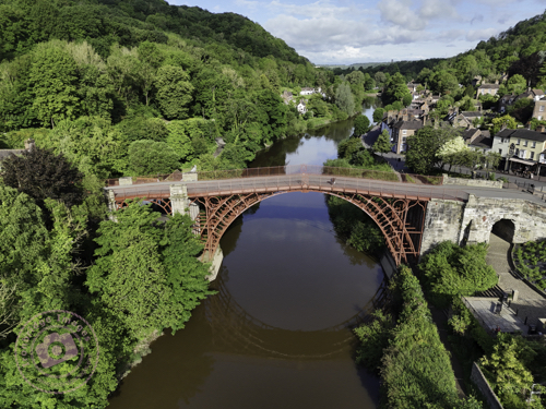
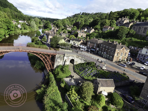
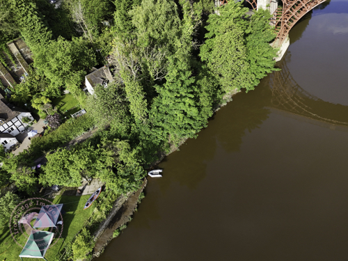
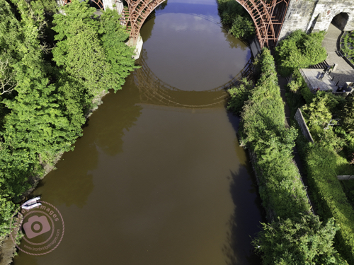
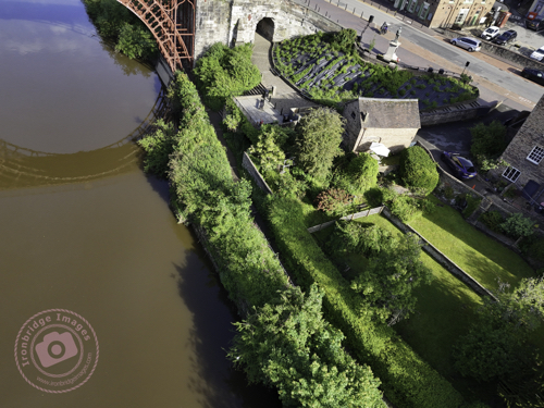
I wanted an aerial shot of the Iron Bridge, and so this either meant taking it from a long way off (and then losing detail) or using the panorama function of my DJI Mini 4 Pro drone – the latter turning out to be the ideal choice.
Even though it was 8.30am on a Bank Holiday, it was surprisingly quiet and deserted, and therefore ideal to fly the drone from a seating area directly in front of the bridge. There are four panorama options on the drone; Sphere, 180o, wide-angle, and vertical, but my preferred one, that produces a more natural image without too much stretching of perspective, is the wide-angle – which takes 9 shots in succession and seamlessly stitches them together (within the drones software) to create one large image. You can then output not only the large panorama image, but also the 9 individual shots.
And here is the complete panorama, which I later cropped to produce the headers for my website and Facebook page:
Iron Bridge Panorama
Please don’t forget to visit my new Facebook page and give it a ‘like’. Thanks
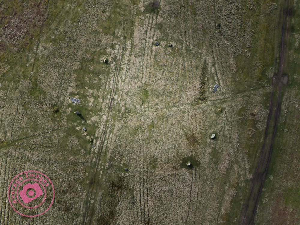
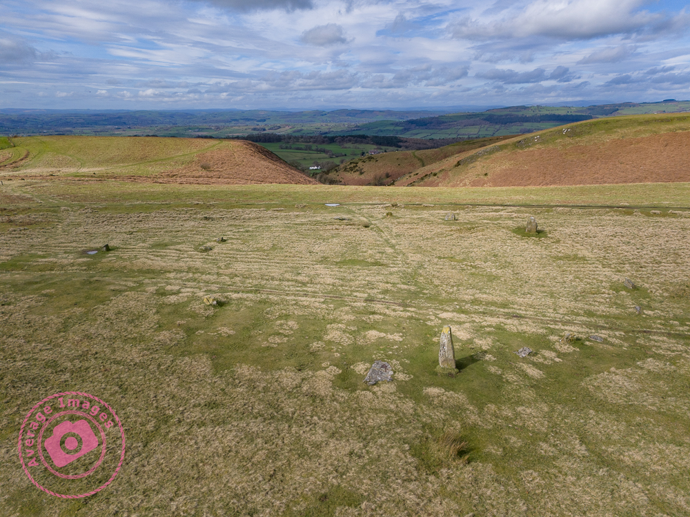
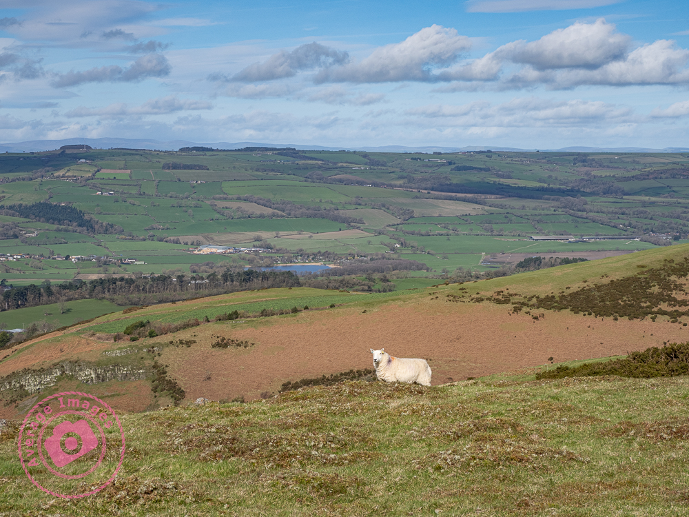
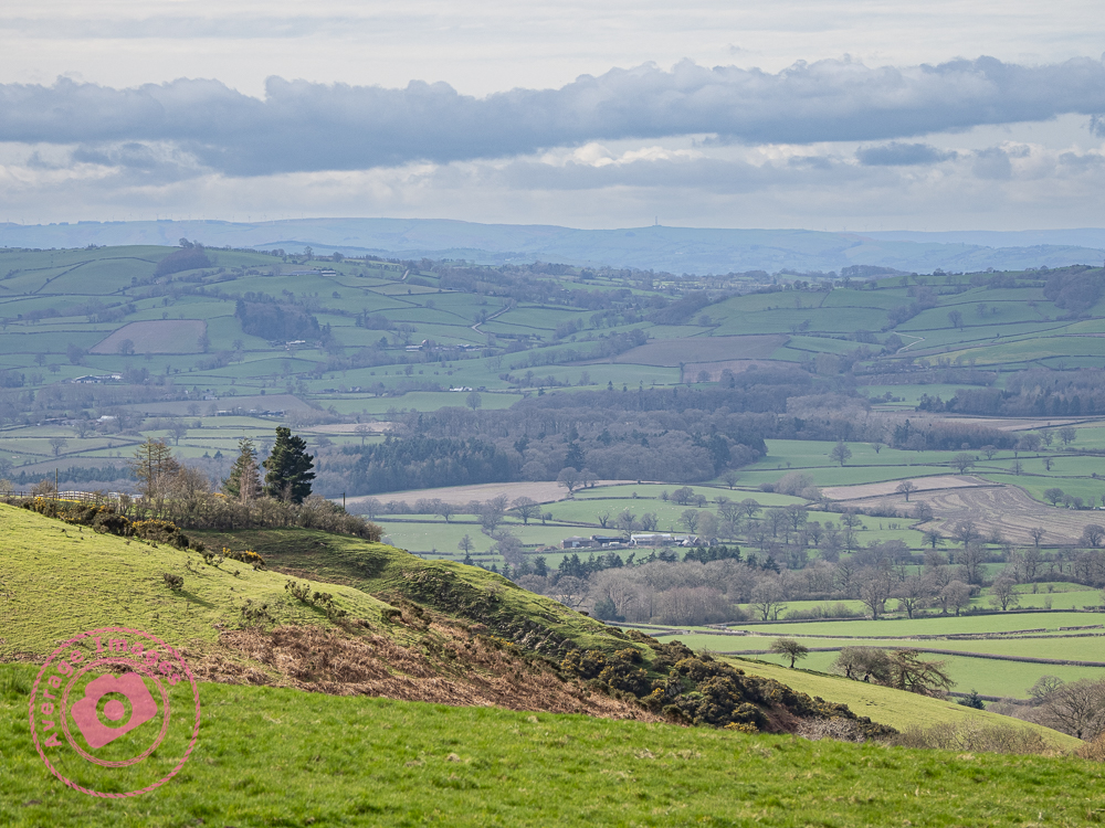
Today is Mrs H’s birthday and so we celebrated by taking the dogs for a walk in the Spring sunshine. We opted to visit the the Mitchell’s Fold stone circle at Stapeley Hill, just over the Welsh border, close to Montgomery. It was a good trek across the moorland, very muddy in places (following the long, wet, Winter) and quite breezy at the top of the hill, but otherwise very pleasant in the warm sunlight.
The stone circle was built in the Bronze Age, about 3,000 years ago. There are fifteen stones (although it is thought that originally there were thirty) but it is unknown exactly why they were built – some think it was for religious reasons, others that it acted as a form of calendar. As stone circles go, the stones themselves are not very big – the largest is about 2 metres high, although the circle itself is 26 metres (about 85 feet) in diameter.
Overhead shot of the stone circle
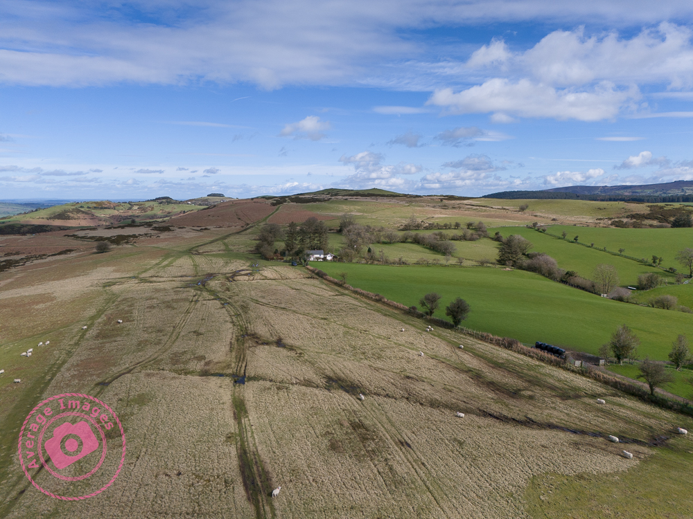
After a good few hours walking, and a diversion due to an excessively muddy track, we headed home for impromptu washing of our boots – and the car!