

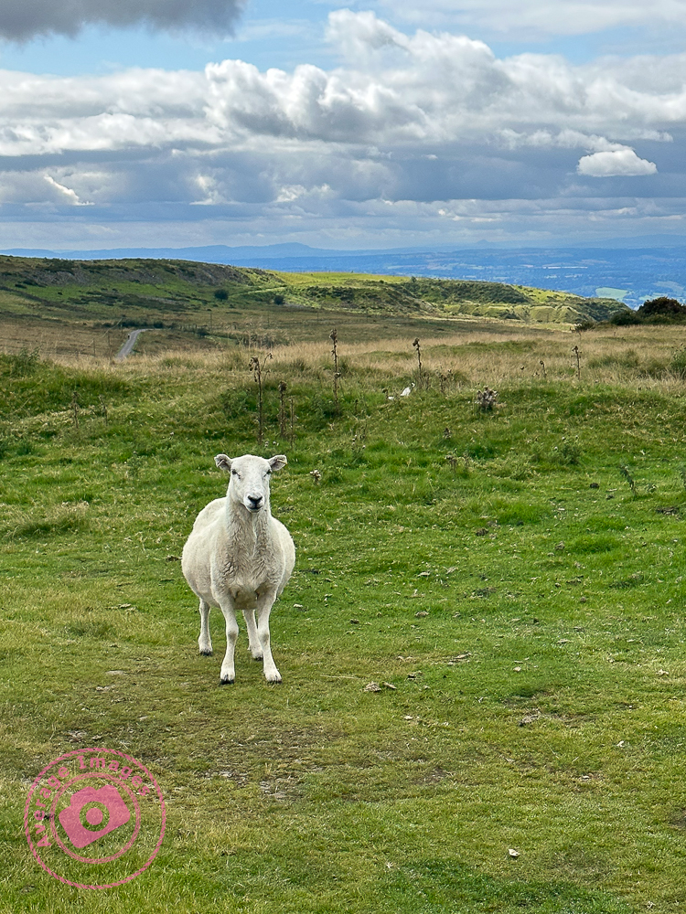
Today we took the dogs for a walk on Titterstone Clee, a hill in Shropshire close to the town of Ludlow. I can’t remember exactly when I last visited, even though it is only 30 miles from home, and my only (vague) memories are visiting as a child with my parents.
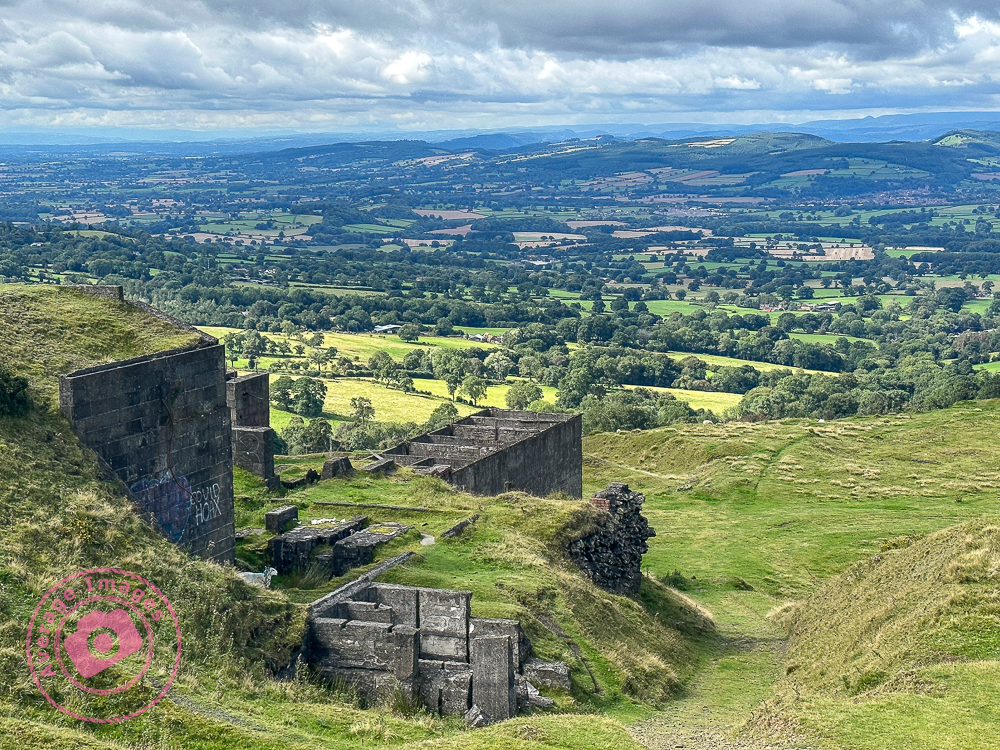
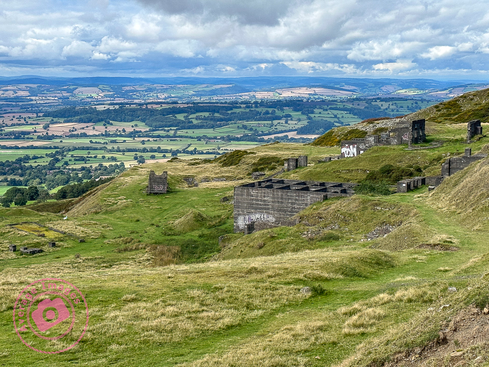
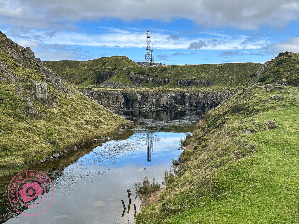
The summit has a multitude of derelict buildings protruding from its sides. Given it’s splendid viewpoint over the Shropshire plains it would be easy to think that these had a military history, but the reality is that these are from years of quarrying – due to the abundance of Dolerite, a stone which is widely used for road building. The buildings are of industrial archaeological interest because they are early examples of the use of reinforced concrete. At one time over 2,000 people were employed at these quarries – it must have been a bleak place to work in the Winter.
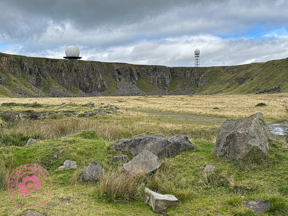
A little higher up the hill, on the summit, are a couple of ‘golf balls’ (as they are known locally). In the Second World War a RAF radar station was established here. It closed in 1957 but was later reactivated as part of the National Air Traffic Services monitoring the UK airspace – the larger ‘golf ball’ monitors aircraft within a 100-mile radius, the smaller one is a Met Office weather radar station
It was a fascinating place (and good weather) and so worthy of some photographs. These were taken with my iPhone and once again shows what great images these phones can produce. However, it would be good to make a repeat visit with my medium format camera and take some detailed shots of those derelict buildings.
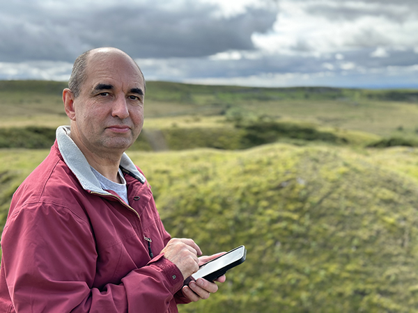
And finally, although I am not altogether comfortable with having my photograph taken (preferring to be the other side of the camera), Mrs H did take one that I may use as an avatar:
Discover more from Ironbridge Images
Subscribe to get the latest posts sent to your email.

